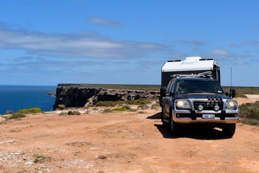
Crossing the Nullabor is one of those “must do” experiences if you live in Australia or travel within Australia. Last time I crossed the Nullabor was back in primary school so I don’t remember much of it. This time I wanted to have a good look around and take my time.
joel
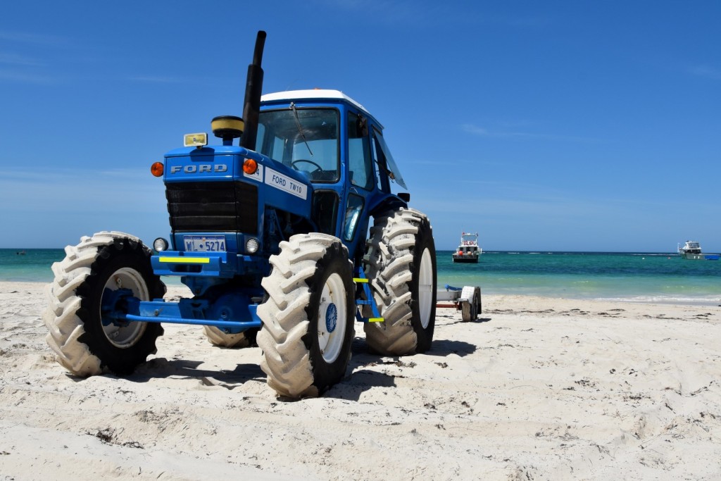
I’m not going to say a lot in this post about Esperance, I was only there for a few days, some of that time I spent preparing for my trip across the nullabor and the rest of the time I was driving around taking photos. Although Esperance has magnificent beaches, the thing that impressed me most during my stay was Helms arboretum, about 15kms north of Esperance.
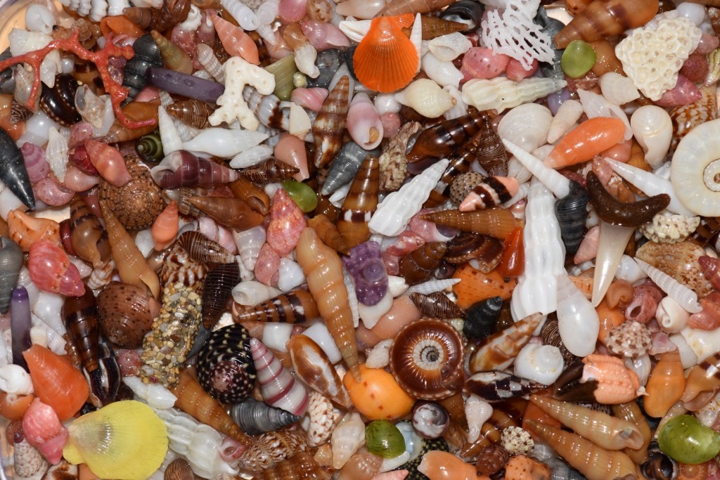
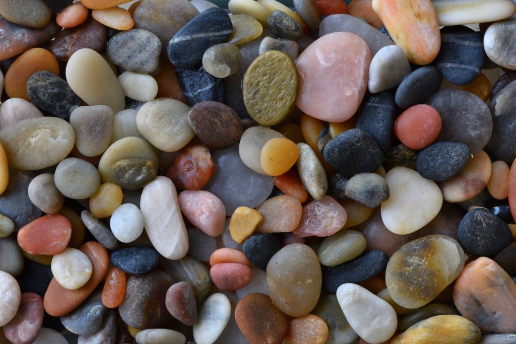
It all started a while back when I visited boat harbour near Denamark, I noticed a few small interesting shells at one end of the beach and when I looked a little closer, there was an area at the end of the beach on the low flat rocks where shell grit was collecting. There were many broken bits of shell and corals, rocks and other rubbish in among it, but once you sort through the grit and get out the whole shells and interesting bits, you can be left with something quite beautiful.
Northcliffe is a small town in the south west of W.A. near Pemberton. The population of Northcliffe is officially less than 500 people and it’s known for it’s farming as well as forestry and more recently in February of 2015 it became better known after one of Western Australia’s worst bush fires ravaged the area.
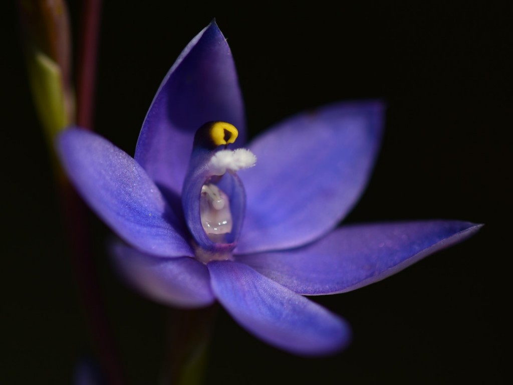
The Stirling ranges were the next hot spot on my list for wildflowers. Unfortunately the Stirling Ranges are only about 150km from the Fitzgerald river so there are a lot of the same plants in both areas, but the Stirlings have a third dimension which makes all the difference, height. The tallest peak in the park is Bluff Knoll and at 1099m high it’s the second highest mountain in W.A. and the only place that has regular snow in Western Australia.
You might be thinking it’s a strange picture to start a post about the Fitzgerald River National park, especially when I’ve been doing a wildflower tour around the south west of the state. After all the park is touted as having the most diverse collection of flora to be found within any park in Australia, it has 20 percent of Western Australia plant diversity within it’s boundaries and many plants are only found within the park.
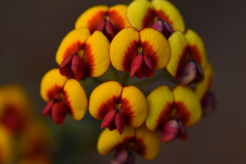 Pea flowers are found through out Western Australia and in a vast array of sizes and colours with some of the more common colours being red, yellow and orange and mixes of these. I’ve neglected them a little with my photographs, well there are two things I’ve neglected, pea flowers and acacias or wattles.

